I join the line of cars sitting on the Bar Road near St Andrews, New Brunswick. It is 1:45 pm and the road looks fairly visible. The Tide Schedule. states low tide for crossing today is 1:55 pm. I get out and walk to the vehicle beside me and say, “Can I go across or do I have to wait the last 10 minutes?” The driver says, “Can’t cross ’til low tide, the water is still receding. You can walk over if you want, but it will be low by time you get there, might as well drive.”
A lady leaning in the window of a vehicle in front of me says it is $10 to access the island. I turn and ask her, “Do you take debit?” She says, “No just cash, Visa or Mastercard.” I return to my truck and start scrounging for money in my purse, down the back of the seats, in the dash - even checking the pockets of every coat and pair of pants I have with me. Gathering what I can, I walk back up to her, with my card and say, “I am a travel blogger and I am here to do a story on your island.” I open my hand to reveal the collection of loonies, quarters, nickles and dimes cupped there in my palm - I am short $3.25. She takes my card and says, “We’ll accept your offer, stop at the booth on the island.”
Just then the cars start rolling down onto the beach in procession, and I run back to my vehicle to join the others crossing. I follow at a distance to see if any of the vehicles sink or struggle, but none do. The sandbar seems firm enough but this innocuous-looking road is under 14 ft of water at high tide and I err on the side of caution, driving around deep-looking puddles It was fun. You don’t get to drive on the bottom of the ocean every day.
Each vehicle stops at the booth to pay the fee. When it is my turn, I greet the attendant. “Hi, I am Kelly the travel blogger.”
“I was expecting you,” he says. I dump my fist full of change into his hand and in exchange I get a Trail map of the island. He starts pointing to locations on the map: the Van Horne estate, the barn…. “Oh I am just here to hike the island circumference trail.”
“Oh, well, walkers just need to give a $2 donation and park behind the booth,” he says. He plucks the donation amount from my pile of change and returns the rest to me. Then he hands me a bright yellow wrist band that says MINISTER ISLAND trail access only. I circle the booth and park. I spray my legs with some fly dope, place my hat on my head, shoulder my pack and head up the road to the barn to find the trail head.
I watch a young man on a mountain bike disappear through the gap in the trees, and behind me is another young man with a day pack. We walk together to the trail start.
” I didn’t realize the trail was so long, I am wearing jeans and not prepared for a big hike,” he says, breaking the silence.
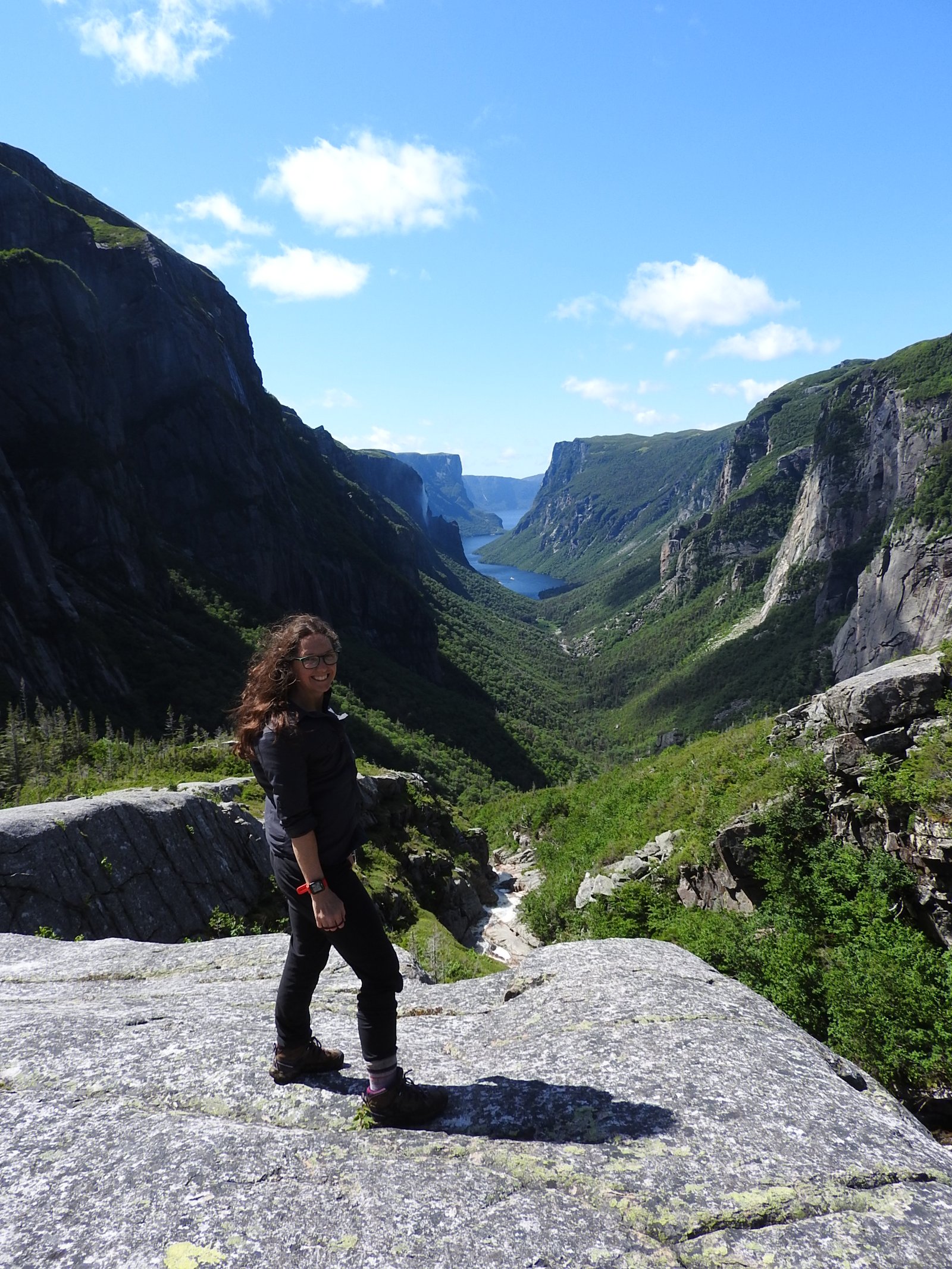
I assume he is referring to the larger backpack I am carrying and say, “The trail break-off is up ahead, you can take a shorter one. I am doing the island circumference trail - it is only 7 km long but I am carrying all my gear because I am training to do the Fundy footpath in September.”
He says, “I have camping gear in my vehicle, I was thinking of doing the some of the Fundy footpath, maybe camp out in the park.”
“There is only back-country camping for those hiking the trail.” I wrote about this in The Fundy Trail Parkway, Is Not The Fundy National Park.
He replies with, “That is good to know.”
He says he is going on a road trip around the Maritime provinces. Just then our trails divide, he goes to the right, I take the branch to the left. “Good luck on your hike,” he says.
“I will, and enjoy your journey,” I shout back.
I arrive at P2 where there is a beach and the map states it is great for wildlife watching. I see a large tree has fallen at some point and it has been cut up into chunks laying beside the trail. The smell of pine scents the air, a light breeze is rustling the tree tops, several birds are singing and the sea gently laps at the rocky shore.
This part of the path is well maintained, more of an ATV trail or old road used by the Van Horne family when they resided here. Further up is what remains of a building that has caved in.
Next point of interest is Bill’s Beach with a lookoff to smaller island. I stop here for some water and take in the view.
The trail exits the forest into a clearing. A path is mowed up through the field, I stay on the trail and re-enter the woods.
A woodpecker hacks away in the distance and a brown-bodied bird jumps from branch to branch, fluttering about the dead wood. Every time I get him in focus with my camera, he moves and I am left with nothing. I like this part of the trail. The woods are dark and mysterious.
I come to a sprawling overgrown bush with the trail going through the middle. The hum of bees surrounds me. They are cloaked in the foliage but their vibrating noise is loud, I estimate a hundred of them in the vicinity. I take a quick picture and move swiftly and carefully through gap, trying not to disturb them.
Just at the back of Covenhoven house is a large patch of lupins. They are so pretty, I have to show you.
There is a small stone and wood home at the rear of main house, maybe used for the staff quarters.
Round the corner is the bathhouse. Only two people are at the upper gazebos. I look around for someone who may check my trail only bracelet but I see no one and I take a chance that I can get away with entering undetected. I hear a lady saying “The rocky area was where the swimming pool use to be.”
-
Van Horne bathhouse
I head down the circular stairway through the change rooms, then go out on to the rocks.
A family is out walking along the rocky platform. I ask the lady if she will take a picture of me and she does. I offer to do the same for their family and they pose near the stone chalet all smiles. I hear the hint of an American accent, in their “Thank You” but I don’t get a chance to ask where they are from before they head up the stairs. They move off to see the house and I go to the national historic monuments for photos.
The trail continues past the main Van Horne house, a huge estate with lovely gardens.
The final leg of the trail back to the entrance gate at P16 is the longest segment. I take a few close-ups of some blooming forget-me-nots, and trudge though the least-worn part of the trail. The final hundred meters the trees bend in and form a tunnel. The sunlight shines at the end and I follow the light.
I return to my truck, shed the weight of my pack, and finish the water in my bottle. I peek in the booth to thank the attendant but he is busy with a customer, so I head out back across the beach. A truck is parked far out on the exposed seafloor, and several people are walking bent over, possibly clam-digging or rock-hounding. It’s a great day for a family outing. I too had a lovely hike about Ministers Island. I highly recommend stopping if you are in the St Andrews area. Until next time, happy travels from Maritime Mac.
Tip Me
If you like this content you can tip me to show your appreciation.
C$1.00


I loved reading this, Great post. Loving the pictures.
LikeLike
Thank you so glad you enjoyed it. I will be sure to stop by your posts too.
LikeLiked by 1 person
you are welcome. And feel free to check out my site if you wish.
LikeLike
Lovely photos Kelly, the bath house is interesting, an interesting place for a pool. The road to the island is amazing, it’s flooded by 14 foot of water, a huge tide!
LikeLike
The Fundy coast has worlds highest tides. It was a cool experience.
LikeLiked by 1 person
Hence the Reversing Falls. Tides are fascinating. It’s amazing how much water our Moon can move!
LikeLike
Oh yes, nature is all powerful
LikeLiked by 1 person
Nice
LikeLike
Thank you, It was fun.
LikeLike
Dear friend
I just named you for “The Sunshine Blogger Award” in my last post.
You deserve, because of the importance and the beauty of your blog, which diffuses the light like the sun. 🙂
LikeLike
Awe thank you. I will have a look soon, just finishing up my Thursday post and got some exploring to do this coming week
LikeLike
ok my beautiful friend
LikeLike
What a neat place! The grounds, and buildings are lovely.
LikeLike
It is a special place. I was glad to go see it and be able to share. Thanks for commenting, cheers
LikeLiked by 1 person